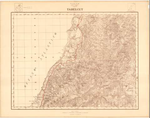
Tabelcut. H. 1-III: (Tabelcut)


Section: Maps, plans and nautical charts
Title: Tabelcut. H. 1-III: (Tabelcut)
Material or type of resouce Area: Escala 1:20.000
Publication: [Madrid] : Talleres del Servicio Geográfico del Ejército, [1960-1961?]
Physical description: 1 mapa ; 82 x 104 cm
Content type: Imagen cartográfica
Media type: computadora
Carrier type: recurso en línea
Notes: Fecha aproximada de publicación tomada de la edición 1:25.000 de este mapa
Other titles: En: Provincia de Ifni. Plano director. - H. 1-III
Other authors: España. Servicio Geográfico del Ejército
UDC: (648 Tabelcut)
Type of publication:
 Maps
Maps
Rights:
Archivo Cartográfico de Estudios Geográficos del Centro Geográfico del Ejército
Collection: PCGE — Location: DE — Call number: MAR-C.12-137 H. 1-III — Código de barras: 9790768 — Notes: B
Préstamo:
 Disponible

© Ministerio de Defensa de España
P. de la Castellana, 109 28071 Madrid.
Tlf: (34) 91 395 50 00
Email: patrimonio.cultural@oc.mde.es