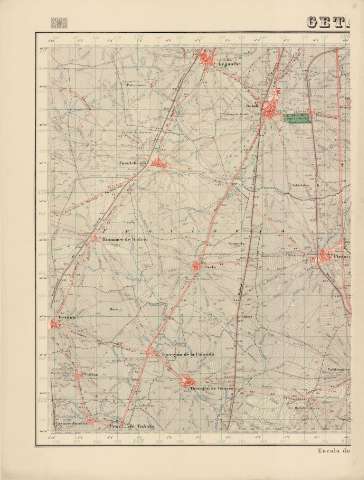
Getafe : 582


Section: Maps, plans and nautical charts
Title: Getafe : 582
Edición: Edición especial
Material or type of resouce Area: Escala 1:25000
Publication: [Madrid] : Talleres del Instituto Geográfico, 1937
Physical description: 1 map. en 2 h. : col. ; 93 x 140 cm en h. de 93 x 70 cm
Content type: Imagen cartográfica
Media type: computadora
Carrier type: recurso en línea
Series: (Mapa topográfico nacional de España 1:25000 ; 582)
Notes: Coordenadas referidas al meridiano de Madrid (O 0º10'-E 0º10'/N 40º20'-N 40º10'). Cuadrícula de 1 km
Relieve representado por curvas de nivel equidistantes 20 metros y puntos acotados
Materia / lugar / evento: Madrid (Comunidad Autónoma) - Mapas
Getafe - Mapas
Genre / form: Mapas topográficos
Other authors: Instituto Geográfico (España)
UDC: 912.43(460.27)"1937"
460.27Getafe
Type of publication:
 Maps
Maps
Rights:
Préstamo:
 Disponible
