Barajas


Section: Maps, plans and nautical charts
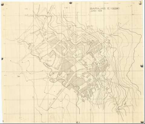
Uniform title: Madrid. Barrio de Barajas. Planos de población. 1938. 1:2.000
Title: Barajas
Material or type of resouce Area: Escala 1:2000
Publication: 1938
Physical description: 1 plan. : rep. fotográfica ; 23 x 27 cm
Notes: Cuadrícula de 100 metros
Relieve representado por curvas de nivel
Materia / lugar / evento: Planos de población
Madrid
UDC: 912.43:[314(084.3)](460.27-25)"1938"
460.27-25
Type of publication:
 Maps
Maps
Archivo Cartográfico de Estudios Geográficos del Centro Geográfico del Ejército
Location: AR — Call number: Ar.C-T.3-C.2-48
Préstamo:
 Disponible

© Ministerio de Defensa de España
P. de la Castellana, 109 28071 Madrid.
Tlf: (34) 91 395 50 00
Email: patrimonio.cultural@oc.mde.es