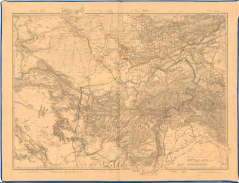
Wyed's Military Staff Map of Central Asia and Afghanistan


 Disponible Holdings
 Section: Maps, plans and nautical charts
Uniform title: IRAN. Mapas generales (182). 1:2000000
Title: Wyed's Military Staff Map of Central Asia and Afghanistan
Material or type of resouce Area: Escala 1:2.000.000 (E55°0'-E77°10'/N42°15'-N30°0')
Publication: London : Published by James Wyld Geographer to The Queen, 11 & 12 Charing Cross SW 157 Straud W. C & 2 Royal Exchange, [182 ?]
Physical description: 1 mapa : col., montado sobre tela ; 82x114 cm en h. de 95x125 cm pleg en 47x62 cm
Content type: Imagen cartográfica
Media type: computadora
Carrier type: recurso en línea
Notes: Escala grafica de 150 Millas inglesas [= 12 cm]
Relieve representado por normales
Tabla de signos convencionales para indicar las lineas de ferrocarriles y las fronteras de los diferentes paises
Materia / lugar / evento: Mapas generales
S.XIX
Afganistán
Other authors: Wyld, James, 1812-1887
UDC: 912:(55)'1820/1829'
(581)
Type of publication:
 Maps
Maps
Rights:
Préstamo:
Disponible
