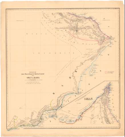
Versuch einer Darstellung der Kusten - Gegend von Oman...


 Maps, plans and nautical charts
Versuch einer Darstellung der Kusten - Gegend von Oman und Mahra : vornamlich nach wellsted, feruer nach whitelock,... (1846)
Maps, plans and nautical charts
Versuch einer Darstellung der Kusten - Gegend von Oman und Mahra : vornamlich nach wellsted, feruer nach whitelock,... (1846)
 Disponible Holdings
 Section: Maps, plans and nautical charts
Uniform title: OMAN. Mapas generales (1846). 1:1000000
Title: Versuch einer Darstellung der Kusten - Gegend von Oman und Mahra : vornamlich nach wellsted, feruer nach whitelock, Gruttendon, Niebuhr, Maines, Aucher Eloy zu C. Ritter Erolkunde / von Carl Zimmermann
Material or type of resouce Area: Escala [ca. 1:1000000] ; [proyec. Mercator]
Publication: Berlin : H. Delius, 1846
Physical description: 1 mapa : col. ; 60,2x57 cm en h. de 68x62,1 cm
Content type: Imagen cartográfica
Media type: computadora
Carrier type: recurso en línea
Notes: Pertenece al 'Atlas Asien gehorig / Von Voder'
Escala hallada a partir de un grado de latitud [= 8,2 cm]. Coordenadas referidas, al parecer, al meridiano de Hierro (E50°50'-E58°10'/N24°10'-N17°15'). Red geográfica de 1° en 1°
Relieve representado por sombreado
Mapa fraccionado
Materia / lugar / evento: Mapas generales
Itinerarios
1846
Other authors: Zimmermann, Carl
Delius, Hermann
UDC: 912:656.02(535)'1846'
535
Type of publication:
Maps
Rights:
Préstamo:
Disponible
