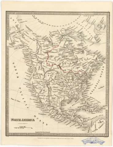
North America


Section: Maps, plans and nautical charts
Uniform title: AMERICA DEL NORTE. Mapas generales (1833). 1:38500000
Title: North America / J.W. del. ; Steckley sc
Material or type of resouce Area: [Ca. 1:38500000] (E 160°-E 0°/N 80°-N 1°)
Publication: [London] : Published for the Propietors of the Nautical Magazine by Fisher Son & Co., 1833
Physical description: 1 mapa ; 24 x 20 cm
Content type: Imagen cartográfica
Media type: computadora
Carrier type: recurso en línea
Notes: Escala gráfica de 800 millas estatutarias [= 3,35 cm]. Proyec. oblicua de Guillermo Portel. Red geográfica de 10º en 10º
Relieve representado por normales
En margen superior derecho: "21"
Materia / lugar / evento: Mapas generales
1833
América del Norte
América Central
Other authors: Stockley, S
Fisher, Son & Co. (Londres)
UDC: (7/728)
Type of publication:
 Maps
Maps
Rights:
Préstamo:
 Disponible
