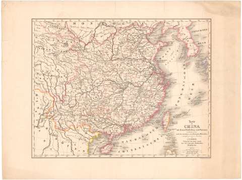
Karte von China mit dessen Eintheilung in 18 Provinzen in...


 Maps, plans and nautical charts
Karte von China mit dessen Eintheilung in 18 Provinzen in Maastabe 1:6500000 nach chen neuesten u zuverlassigsten... (1841)
Maps, plans and nautical charts
Karte von China mit dessen Eintheilung in 18 Provinzen in Maastabe 1:6500000 nach chen neuesten u zuverlassigsten... (1841)
 Disponible Holdings
 Section: Maps, plans and nautical charts
Uniform title: China. Mapas generales (1841). 1:6500000
Title: Karte von China mit dessen Eintheilung in 18 Provinzen in Maastabe 1:6500000 nach chen neuesten u zuverlassigsten materialien / entroorfen, gezeichnet u bearbeivet von J.B. Roost ; in stein gravirt V.D. Gransmutler
Material or type of resouce Area: Escala 1:6500000 ; [proyec. cónica]
Publication: Munchen : J.G. Cotta'schen Buchhandlung, 1841
Physical description: 1 mapa : col. ; 40,7x52,9 cm en h. de 52,2x70 cm
Content type: Imagen cartográfica
Media type: computadora
Carrier type: recurso en línea
Notes: Escalas gráficas de 50 millas alemanas [= 5,5 cm], 200 millas geográficas de 60 al grado [= 5,5 cm] y 400 'Chinesische Li 192 anf 1 grad' [= 3,5 cm]. Coordenadas referidas al meridiano de Hierro (E110°-E150°/N40°-N17°). Red geográfica de 2° en 2°
Materia / lugar / evento: Mapas generales
Divisiones administrativas
1841
Other authors: Roost, Johann Baptist
Cotta, J.G
Gransmutler, D
UDC: 912(510-328)'1841'
510-328
Type of publication:
Maps
Rights:
Préstamo:
Disponible
