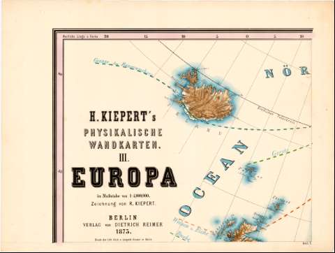
H. Kiepert's Physikalische vandkarten III. Europa


 Disponible Holdings
 Section: Maps, plans and nautical charts
Uniform title: Europa. Mapas generales (1873). 1:4000000
Title: H. Kiepert's Physikalische vandkarten III. Europa / Zeichnuna von R. Kiepert
Material or type of resouce Area: Escala 1:4.000.000 ; [proyec. Estereografica]
Publication: Berlin : Verlag von Dietrich Reimer, 1873 (Berlin< : Druck Leopold Kraatz)
Physical description: 1 mapa en 9 h. : col. ; h. de 48x64
Content type: Imagen cartográfica
Media type: computadora
Carrier type: recurso en línea
Notes: Coordenadas referidas al meridiano de Hierro (O20°0'-E70°0'/N60°0'-N25°0'). Red geografica de 5° en 5°
Relieve representado por tintas hipsometricas
Other authors: Kiepert, R
Reimer, Dietrich
Kraatz, Leopold
UDC: 912:341.222(4)'1873'
Type of publication:
 Maps
Maps
Rights:
Préstamo:
Disponible
