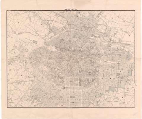
Bruxelles


Section: Maps, plans and nautical charts
Uniform title: BRUSELAS (Bélgica). Planos de población. 1:5000 (185)
Title: Bruxelles
Material or type of resouce Area: Escala 1:5000
Publication: Bruxelles : Etablissement Géographique, [185-]
Physical description: 1 plano ; 68,5x90,5 cm en h. de 84x99,5 cm, pleg. en 42x49,5 cm
Content type: Imagen cartográfica
Media type: computadora
Carrier type: recurso en línea
Notes: En el margen inferior : las cifras subrayadas indican el próximo nivel decretado para las calles
Materia / lugar / evento: Planos de población
S.XIX
Other authors: Etablissement Geographique de Bruxelles
UDC: 912:314(493 Bruselas)'1850/1859'(084.3)
493 Bruselas
Type of publication:
 Maps
Maps
Rights:
Préstamo:
 Disponible
