Hammont


Section: Maps, plans and nautical charts
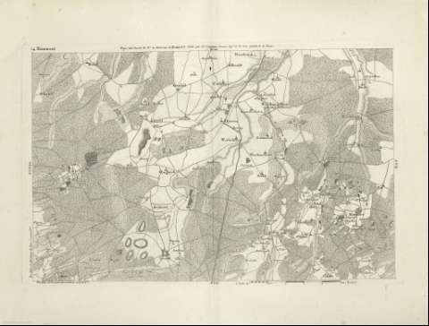
Title: Hammont
Material or type of resouce Area: [Ca. 1:88.636]. 5000 toises [= 11 cm]
Publication: [A Paris : chez J.B. Delaval, Rue Geoffroy - Langevin N 7 présce lle Ste. Avoye, 1797]
Physical description: 1 mapa ; 31 x 49 cm en h. de 41 x 56 cm, pleg. en 41 x 28 cm
Content type: Imagen cartográfica
Media type: computadora
Carrier type: recurso en línea
Notes: Relieve representado por normales
En el margen superior: "Pays sud-ouest du N 4, environs d'Hammont, publié par Ls Capitaine premier Ingr. de la Carte générale de la France", relativo a la edición gran águila
Copia digital. España : Ministerio de Cultura. Dirección General del Libro, Archivos y Bibliotecas, 2010
Materia / lugar / evento: Mapas topográficos
Geografía regional
Bélgica
Other authors: Capitaine, Louis, 1749-1797
Delaval, J.-B
UDC: 912:528.4]:913(493 Amberes)'1797'
493 Amberes
Type of publication:
 Maps
Maps
Rights:
Préstamo:
 Disponible
