England of Wales]


Section: Maps, plans and nautical charts
Uniform title: Inglaterra (Reino Unido). Mapas generales (1862-1863). 1:64000
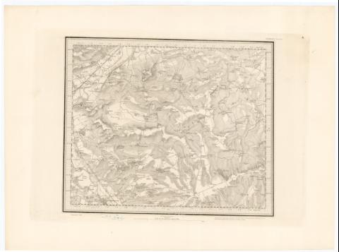
Title: England of Wales] / Engraved at the Ordnance Map Office in the Tower under the direction of Lieutt. Colonel - Colby ; by Bejn. Baker & Assistans ; The Writing by Ebenr. Bourne
Material or type of resouce Area: Escala [ca. 1:64000], 4 statute Mile [= 10 cm]
Publication: Published at the Tower of London : by Lieutt. Colonel Colby of the Royal Engineers, 1862-1863
Physical description: 1 mapa en h. ; h. de 45,5x61 cm o menos
Notes: Titulo propio tomado del catálogo del S.G. 'Inglaterra. Siglos XVI a XX'. 1976, p. 22
Escala de una pulgada por milla. Coordenadas referidas al meridiano de Londres. Recuadro geográfico de 1' en 1'
Relieve representado por normales
Indica los Km entre diferentes ciudades, y masas forestales
En el margen inferior 'Printed from an Electrotype'
En el margen superior de cada hoja se encuentra el número con indicacion de puntos cardinales, pues se hallan divididas en cuartos
Incompleto : solo se dispone de las hojas XLV, LIII, LIV, LXI, LXIII, LXXI, LXXII, LXXV, LXXX, LXXXII, LXXXVII, LXXXVIII
Sello en seco del Depósito de la Guerra y del 'Topographical Departament. War Office. Ordnance Survey'
Materia / lugar / evento: Mapas generales
Itinerarios
1863
Gales
UDC: 912:656.02(410-328 Inglaterra)'1862/1863'
(410-328 Gales)
Type of publication:
 Maps
Maps
Rights:
Préstamo:
 Disponible
