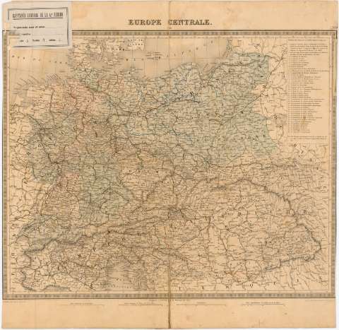
Europe Centrale


Section: Maps, plans and nautical charts
Uniform title: Europa. Central. Mapas generales (186). 1:4000000
Title: Europe Centrale
Material or type of resouce Area: Escala [1:4000000] ; [proyec. cónica]
Publication: A Paris : Publié par Furne, [186- ?] (Imp. en taille deuce de Lemercier, r. de Seine 57)
Physical description: 1 mapa : col. ; 34,2x42,3 cm en h. de 41,3x42,3 cm
Content type: Imagen cartográfica
Media type: computadora
Carrier type: recurso en línea
Notes: Escalas gráficas de 30 millas alemanas de 15 al grado [= 5,5 cm], 50 leguas comunes de Francia de 25 al grado [= 5,5 cm] y 120 millas geográficas o italianas de 60 al grado [= 5,5 cm]. Coordenadas referidas al meridiano de Paris (E4°00'-E24°00'/N55°20'-N44°00'). Red geográfica de 1° en 1°
Relieve representado por normales
Relación de los estados que formaban la Confederación Germánica, indicados por clave numérica
Nota relativa a los números de los estados utilizados en la relación
En el ángulo superior derecho : N 14
Materia / lugar / evento: Mapas generales
S.XIX
Other authors: Lemercier
Furne & Cie (París)
UDC: 912(4-191.2)'1860/1869'
4-191.2
Type of publication:
 Maps
Maps
Rights:
Préstamo:
 Disponible
