Das Capland : Nebst den Nordlichancrenzenden cebieten in...


 Maps, plans and nautical charts
Das Capland : Nebst den Nordlichancrenzenden cebieten in maassstabe von 1:5000000 (1885)
Maps, plans and nautical charts
Das Capland : Nebst den Nordlichancrenzenden cebieten in maassstabe von 1:5000000 (1885)
 Disponible Holdings
 Section: Maps, plans and nautical charts
Uniform title: AFRICA. Mapas generales. 1:5000000 (1885)
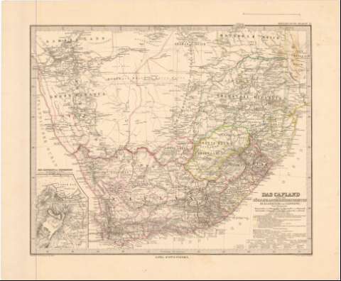
Title: Das Capland : Nebst den Nordlichancrenzenden cebieten in maassstabe von 1:5000000 / Bearbeitet von H. Habenicht ; Gest. v. Poppey v. Jungmam
Material or type of resouce Area: 1:5000000 ; [proyec. cónica] (E 13°00'-E 34°35'/S 20°00'-S 34°35')
Publication: Gotha : Justus Perthes, 1885
Physical description: 1 mapa : col. ; 33,2 x 40,8 cm en h. de 40,5 x 48,9 cm
Content type: Imagen cartográfica
Media type: computadora
Carrier type: recurso en línea
Notes: Coordenadas referidas al meridiano de París (E12°-E31°/S 20°00'-S 34°35') y referidas al meridiano de Hierro. Red geográfica de 2° en 2°
Relieve representado por normales
Relación de las principales posesiones coloniales europeas y etnias africanas indicadas por clave cromática
Tabla de signos convencionales para indicar misiones religiosas, ríos, lagos, líneas ferroviarias, rutas de las expediciones geográficas, etc.
Sello del Depósito de la Guerra
Inserta: Die Capstadt und Umgebung im Maassstab. Escala 1:150000
En: Stieler's Hand-Atlas. N. 72
Other authors: Habenicht, Hermann
Stieler, Adolf, 1775-1836
Jungmann, C
Poppey
Perthes, Justus, 1749-1816
UDC: 912(6-13)'1885'
6-13
Type of publication:
Maps
Rights:
Préstamo:
Disponible
