Map of Africa : from The Equator to the Southern Tropic...


 Maps, plans and nautical charts
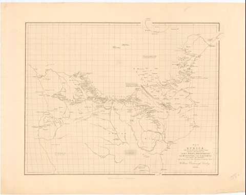
Map of Africa : from The Equator to the Southern Tropic Shewing the Routes to Lake Nyassi, Moenemoeri, The Moropue,... (1853)
Maps, plans and nautical charts
Map of Africa : from The Equator to the Southern Tropic Shewing the Routes to Lake Nyassi, Moenemoeri, The Moropue,... (1853)
 Disponible Holdings
 Section: Maps, plans and nautical charts
Uniform title: AFRICA. Mapas generales. 1:7500000 (1853)
Title: Map of Africa : from The Equator to the Southern Tropic Shewing the Routes to Lake Nyassi, Moenemoeri, The Moropue, The Cazembe aud Across The Continent with The Discoveries of The Missionaries in Easter Africa / by William Desborough Cooley ; Engraved by F.B. Becker
Material or type of resouce Area: [Ca. 1:7500000] ; [proyec. cónica] (E 10°0'-E 40°30'/N 0°0'-S 20°15')
Publication: [London?] : Saunders & Standford, 6, Charing Cross, 1853
Physical description: 1 mapa ; 40,5 x 52 cm en h. de 53 x 64 cm
Content type: Imagen cartográfica
Media type: computadora
Carrier type: recurso en línea
Notes: Escala gráfica hallada a partir de un grado de latitud [= 8 cm]. Red geografica de 5° en 5°
Relieve representado por normales
Procede de la "Colección Coello"
Other authors: Desborough Cooley, William
Becker, F. P
Stanford, Edward
Saunders
UDC: 912:[266:556.55](6-13)'1853'
6-13
Type of publication:
Maps
Rights:
Préstamo:
Disponible
