Vicinity of Decherd : [map]


 Disponible Ejemplares
 Sección: Mapas, planos y cartas náuticas
Título uniforme: TENNESSEE (Estados Unidos). S. Mapas militares. 1892 (1863). Escala indeterminada
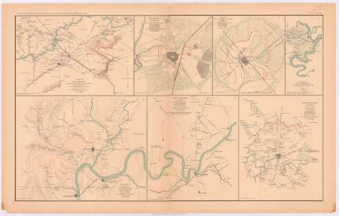
Título: Vicinity of Decherd : [map] / compiled in the field from various information under the direction of Capt. W.E. Merrill, U.S. Engineers ; printed in the field by Capt. Margedants new method for field map printing
Área de datos: Escala indeterminada
Publicación: Washington : Government Printing Office, [189-?] (N.Y. [Nueva York] : Julius Bien & co.)
Descripción física: 1 mapa : col. ; 18x27 cm, en h. de 47x75 cm
Tipo de contenido: Imagen cartográfica
Tipo de medio: computadora
Tipo de soporte: recurso en línea
Notas: En : Atlas to accompany the Official Records of the Union and Confederate Armies 1861 - 1865. - Plate XXXV, n 1
Relieve : líneas perpendiculares normales
Orientado con flecha
Mapa que acompaña el informe del Maj. Gen. W.S. Rosechons, U.S. Army
En el margen inferior, figura : 'Series 1. Vol XXIII. Part 1. Page 404
En : Atlas to accompany the Official Records of the Union and Confederate Armies 1861 - 1865
Materia / lugar / evento: Guerra civil
Mapas militares
Redes de transporte
1863
Decherd
Estados Unidos
Otros autores: Merrill, W. E
CDU: 912:355.4(768)'1863'
912:355(768)'1883'
768
Tipo de publicación:
 Mapas
Mapas
Derechos:
Préstamo:
Disponible
