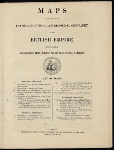
Maps illustrative of the physical, political and...
Sección: Mapas, planos y cartas náuticas
Título: Maps illustrative of the physical, political and historical geography of the British Empire : for the use of schoolmasters, pupil teachers and the upper class of schools
Área de datos: Varias escalas
Publicación: London : National Society for the Education of the Poor, 1857
Descripción física: 1 atlas (VIII p.) : 12 lám. col. ; 37 x 28 cm
Tipo de medio: sin mediación
Notas: Prólogo con la descripción de las lám
Las lám. tienen notas explicativas y tablas de signos
Incluye un índice de lám
Contiene: [lám. 1]. Physical map of the British Isles and the surrounding seas - [lám. 2]. Physical map of England & Wales with part of Scotland - [lám. 3]. Chief mineral productions of England & Wales with part of Scotland - [lám. 4]. Temperature in the British Isles and the neighbouring countries - [lám. 5]. Hyetographic map of the British Isles and the neighbouring countries - [lám. 6]. Political map of England & Wales and with part of Scotland - [lám. 7]. Chief occupations of the people of the British Isles - [lám. 8]. Population of the British Isles - [lám. 9]. The British dominions - [lám. 10-11]. Geographical illustrations of British history - [lám. 12]. Illustrations of the ecclesiastical geography of the British Empire
Materia / lugar / evento: Mapas generales
Mapas físicos
Mapas de minerales
Mapas climáticos
Mapas políticos
Mapas históricos
Demografía
Colonias
Atlas
1857
Islas Británicas
CDU: 41
Tipo de publicación:
![]() Mapas
Mapas
Préstamo:
![]() Disponible
Disponible


