The East-India Pilot or Oriental Navigator : On one...


 Mapas, planos y cartas náuticas
The East-India Pilot or Oriental Navigator : On one hundred and fourteen plates containing a complete collection of... (1779-1785)
Mapas, planos y cartas náuticas
The East-India Pilot or Oriental Navigator : On one hundred and fourteen plates containing a complete collection of... (1779-1785)
 Disponible Ejemplares
 Sección: Mapas, planos y cartas náuticas
Título uniforme: Mundo. Cartas náuticas (1793-1878). Varias escalas
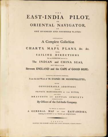
Título: The East-India Pilot or Oriental Navigator : On one hundred and fourteen plates containing a complete collection of charts, maps, plans, with sailing directions for the navigator not only of the Indian and China seas, but those also between England and the Cape of Goood Hope / Improved and chiefly composed from the last work of M. D'Aprés de Mannvillette ; with considerable additions from private manuscripts of the Dutch, and from draught and actual surveys communicated by officer of the East-India Company ; printed for Robert Sayer and John Bennett, Fleet-Street
Área de datos: Escalas dif
Publicación: London : Robert Sayer and John Bennett, 1779-1785
Descripción física: 1 atlas (2 v.) (v. I: 69 h.; v. II: 95 h.) : 120 map. ; 63 cm
Tipo de contenido: Imagen cartográfica
Tipo de medio: computadora
Tipo de soporte: recurso en línea
Notas: La práctica totalidad de los mapas que componen el presente Atlas son cartas náuticas de diferentes zonas del globo
Los documentos graduados en general toman como meridiano principal el de Ferro o el de Londres
En su mayor parte consta escala gráfica, expresada en leguas marinas, y aparecen orientados con lis
Presentan análisis batimétrico de la zona
Los dos volúmenes se encuentran encuadernados, se ignora el origen de dicha encuadernación cuyo título general es: "Atlas Maritime Anglois"
Materia / lugar / evento: Cartas náuticas
Atlas
Perspectivas de costas
Otros autores: Mannevillette, Jean Baptiste Nicolas Denis d'Aprcs de
Robert Sayer and John Bennett (Firma)
CDU: 912:551.468]:742]:551.42+551.468:627.22(100)"17"(084.4)
100
Tipo de publicación:
Mapas
Derechos:
Préstamo:
Disponible
