Punjab, and its Dependences, The : with portions of the...


 Mapas, planos y cartas náuticas
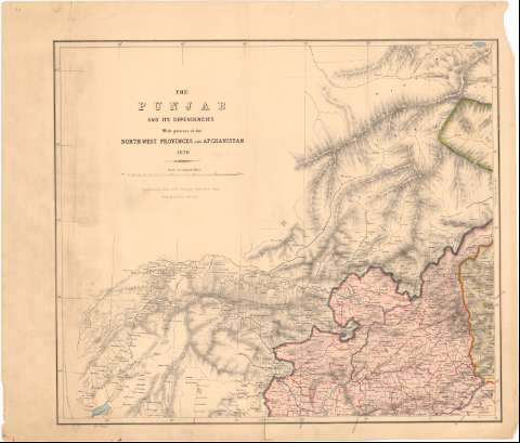
Punjab, and its Dependences, The : with portions of the Nort West Provinces and Afghanistan (1870)
Mapas, planos y cartas náuticas
Punjab, and its Dependences, The : with portions of the Nort West Provinces and Afghanistan (1870)
 Disponible Ejemplares
 Sección: Mapas, planos y cartas náuticas
Título uniforme: PUNJAB (India). Mapas generales. 1:800000 (1870)
Título: Punjab, and its Dependences, The : with portions of the Nort West Provinces and Afghanistan / Compiled in the Office of the Survenyer General of India From the Latest Surveys
Edición: 2 ed.
Área de datos: Escala [ca. 1:800000] 80 Miles [= 11 cm] (E67°50/N37°25'-N32°50')
Publicación: [London ? : [Editor no identificado]], 1870
Descripción física: 1 mapa : col. ; 56x64 cm en h. de 64x75 cm, pleg 38x65 cm
Tipo de contenido: Imagen cartográfica
Tipo de medio: computadora
Tipo de soporte: recurso en línea
Notas: Relieve representado por normales
Sello en seco de 'Topographical Department India'
Materia / lugar / evento: Mapas generales
1870
Otros autores: India. Office of the Survenyor
CDU: 912(540-328 Punjab)'1870'
540-328
Tipo de publicación:
Mapas
Derechos:
Préstamo:
Disponible
