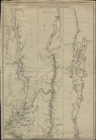
[Topographical Map of Hudsons River : With the Channels Depth of Water, Rocks, Shoals Ex. and the Country adyacent, from Sandy-Hook, New York and Bay to Fort Edward, also the Comunication with Canada by Lake George and Lake Champlain, as high as Fort Cham [MN-5-B-18]
DIGIBÍS