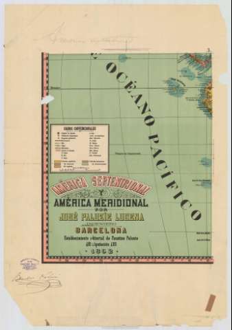
America Septentrional y América Meridional


 Disponible Holdings
 Section: Maps, plans and nautical charts
Uniform title: AMERICA. Mapas generales. 1:18518518 (1892)
Title: America Septentrional y América Meridional / Por José Paluzíe Lucena ; J. Palouzie Gbó
Material or type of resouce Area: Escala [ca. 1:18518518] (O 180°-E 60°/N 80°-N 58°)
Publication: Barcelona : Establecimiento editorial de Faustino Paluzie, 1892
Physical description: 1 mapa en 4 h. : col. ; en h. de 65 x 46 cm
Content type: Imagen cartográfica
Media type: computadora
Carrier type: recurso en línea
Notes: Escala hallada a partir de 1° de latitud [= 0,6 cm]. Coordenadas también referidas al meridiano de Madrid
Relieve por normales
Clave cromática para diferenciar las posesiones coloniales españolas, francesas, inglesas, holandesas y danesas en América
Figuran el sello y la firma impresos del editor
Inserta: [Mapa del mar de Bering] ; "Mapa del Polo Norte" ; "Mapa del Polo Sur". Escala indeteminada ; "Mapa de España a la misma escala del mapa general de América"
Materia / lugar / evento: Mapas generales
Divisiones administrativas
Colonias
Estrechos
1892
Mar de Bering
Bering (Estrecho)
Ártico
Antártico
América
España
Other authors: Paluzíe y Lucena, José, 1860-1938
Litografía de Paluzíe (Barcelona)
UDC: 7/8
Type of publication:
 Maps
Maps
Rights:
Préstamo:
Disponible
Préstamo:
Disponible
Préstamo:
Disponible
Préstamo:
Disponible
