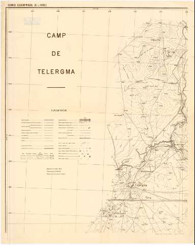
Camp De Telorgma


Section: Maps, plans and nautical charts
Uniform title: Argelia. Mapas generales. 1897. 1:10000 (1880-1896)
Title: Camp De Telorgma / Service Geographique De L'Armee
Material or type of resouce Area: [Ca. 1:10000]
Publication: [Francia?] : [Editor no identificado], [1897?]
Physical description: 1 mapa ; 95 x 73 cm
Content type: Imagen cartográfica
Media type: computadora
Carrier type: recurso en línea
Notes: Relieve representado por normales
Tabla de signos convencionales para indicar las vías de comunicación y los diferentes tipos de comunicación
Other authors: Francia. Service géographique de l'armée
UDC: 912(65)'1880/1896'
65
Type of publication:
 Maps
Maps
Rights:
Archivo Cartográfico de Estudios Geográficos del Centro Geográfico del Ejército
Collection: PCGE — Location: AR — Call number: Ar.Q-T.10-C.3-143 — Código de barras: 2212199
Préstamo:
 Disponible

© Ministerio de Defensa de España
P. de la Castellana, 109 28071 Madrid.
Tlf: (34) 91 395 50 00
Email: patrimonio.cultural@oc.mde.es